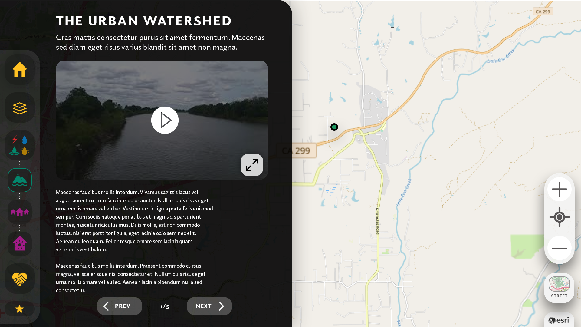
The Urban Watershed
Redding, California
CLIENT
Turtle Bay Exploration Center
YEAR
2019-2021
ROLES
Art Direction
Motions Graphics & Animation
Exhibition Design
User Experience, User Interface
Roles
Lead UI/UX Designer
Digital Illustrator
Director of Animation
Tech + Industry
Multi-User Digital Exhibit
ArcGIS, User Analytics, Database Storage
Conservation, Power & Utility, Infrastructure
Overview
A collaboration between the City of Redding and the Turtle Bay Exploration Park (TBEC) brought back to life a former water table exhibition into an immersive multi-user interactive. The exhibit invites guests to learn more about the utilities that serve the City of Redding. By utilizing the dynamic maps powered by ArcGIS, visitors learn the hidden infrastructure of power, waste, and water distribution structures in their neighborhood or favorite points of interest.


Challenges
• A unique form factor required the repurposing of an angled gone-defunct water table into a multi-user interactive exhibit
• Working with three stakeholder groups: the City of Redding Water Department, the City of Redding Electric Department, and the TBEC
• Allow for multi-user support in a shared device experience while serving as a docent-led group experience
Solutions
• Worked closely with the team at TBEC and Ideums Fabrication Studio to ensure seamless inline integration of the 65-inch multitouch display while designing a unique shared user experience
• Illustrating interactive assets for gameplay and educational concepts of required content deliverables of both the water and electric groups
• Up to four visitors could interact with the exhibit using an ingenious mirrored interactive experience in quadrants


What I love about this project
I enjoyed working on this exhibit, especially because I was able to highlight my illustration skills for an interactive game that teaches visitors conservation, safety, and usage of power and water services in a home and neighborhood. In addition, I enjoyed learning about the unique customization and integration of the ArcGIS API and how dynamic we could make our map components used within the application.
DISCLAIMER:Photographs are copyright of their respective groups and owners and used here to illustrate ideas or physicality of digital products and experiences. Work displayed here may have been completed in collaboration with individuals and businesses. 
